The McDonald & Woodward Publishing Company
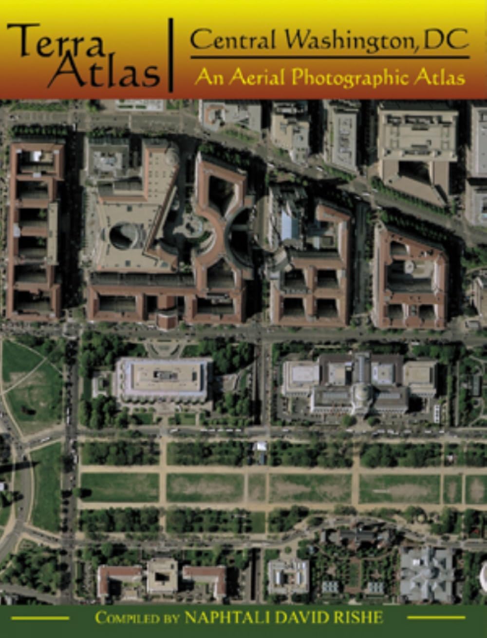
TerraAtlas: Central Washington, DC: An Aerial Photographic Atlas
Regular price
$20.11 USD
Regular price
Sale price
$20.11 USD
Unit price
per
Couldn't load pickup availability
Title: TerraAtlas: Central Washington, DC: An Aerial Photographic Atlas
Author: Naphtali D Rishe
ISBN: 0939923998
Publisher: The McDonald & Woodward Publishing Company
Published: 2006
Binding: Paperback
Language: English
Number of Pages: 48
Condition Note: Clean, unmarked copy with some edge wear. Good binding. Dust jacket included if issued with one. We ship in recyclable American-made mailers. 100% money-back guarantee on all orders.
Publisher Description: This is a collection of atlases of high quality aerial photography that features selected venues from the American landscape. Central Washington, DC incorporates an area 5.68 miles north-south and 5.08 miles east-west, or some 28.84 square miles, in Washington, DC, and Arlington County, Virginia. The aerial photography reproduced in this atlas was taken in 2002 by the US Geological Survey. The atlas includes 35 pages of photographs presented at a scale of 1:7000, each titled with the name of a prominent neighborhood or landscape feature located on the page. A grid divides each of these 35 images into 72 cells; each cell measures 0.1 mile on a side and is uniquely identifiable by a letter and number located on the left and bottom side of the grid, respectively. The atlas concludes with nine pages of indexes, of which four pages are devoted to street names and five pages to selected other place names. Place names, other than streets, included in this atlas are representative of categories of places that appear on the images. natural significance; international, national, state, district, and local government properties; educational institutions; and more prominent hospitals, hotels and motels, and religious sites.
Share